Coal Harbour Seawall - Floatplanes and Yachts
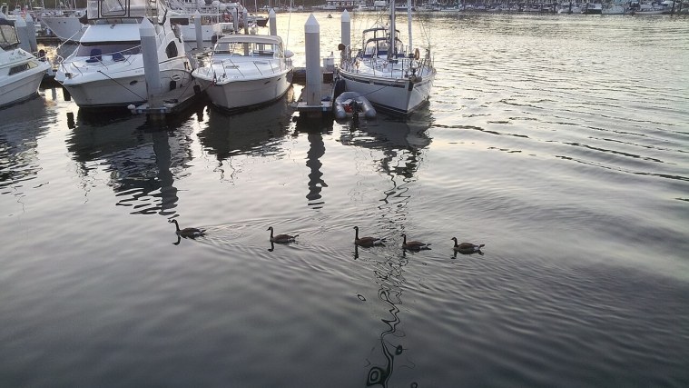
Photo: Shane Smith, CC BY-SA 3.0 (cropped)
A stop on Vancouver Cruise Day Walk, a free self-guided tour.
You're now on the Seawall, the waterfront path that runs for more than 20 kilometres around downtown and Stanley Park. This stretch follows Coal Harbour, a sheltered arm of Burrard Inlet lined with marinas, glass towers and floating homes.
The name comes from coal found along the shore in the 1860s. Long before that, the Squamish and other Coast Salish peoples lived, fished and gathered here.
Watch the water near Canada Place: floatplanes take off and land here all day, linking the city with Victoria and other coastal towns. Out in the harbour you'll see Deadman's Island, a small wooded island that now holds a naval reserve base.
On the land side, the green lawns of Harbour Green Park make a pleasant place to sit. Pedestrians and cyclists have separate lanes along the seawall, so keep to the walking side.
Getting here: Continue west along the waterfront path from Jack Poole Plaza, about 5 to 7 minutes, to Harbour Green Park.
Did you know?: In the early 1900s the Coal Harbour shore was nicknamed Blueblood Alley because of the grand mansions built along it.
Photo op: From the water's edge in Harbour Green Park, catch a floatplane taking off with the North Shore Mountains behind.
Nearby: Cafes and restaurants along the Coal Harbour waterfront.
More on Wikipedia: Coal Harbour · Seawall
Stops on this tour
- Canada Place - The Ship with Sails
- Olympic Cauldron - Vancouver's 2010 Flame
- Coal Harbour Seawall - Floatplanes and Yachts
- Lost Lagoon - A Lake That Was Once the Sea
- Stanley Park Seawall - A Lifetime of Stonework
- Brockton Point Totem Poles - Carved Stories
- Nine O'Clock Gun - The Cannon That Tells Time
- Waterfront Station - Where the Railway Ended
- Gastown Steam Clock - Whistles on the Hour
- Gaoler's Mews - Vancouver's First Jail
- Maple Tree Square - Where Gastown Began
- Canada Place Promenade - Back on Board