Savannah
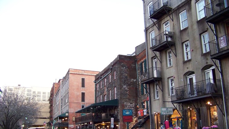
Photo: Lvklock, CC BY-SA 3.0 (cropped)
In 1733 James Oglethorpe and the first Georgia colonists laid out Savannah on a bluff above the river, and they used a plan that is still easy to see. The town was built in wards, and each ward had a small public square in the middle, with house lots on two sides and lots for churches and public buildings on the other two. As the city grew, it kept adding wards, and today 22 squares survive. They are the thread that ties this walk together.
The route has 12 stops and runs about 3 kilometers (2 miles), one way, on mostly flat sidewalks, with one steep ramp down to River Street. Allow a little over two hours. Benches and shade are easy to find in every square.
Start in Johnson Square, at Bull and Bryan streets. You will go down to the river, west to City Market, then south along Bull and Abercorn streets, square by square, to finish at the fountain in Forsyth Park.
12 stops on this tour:
Johnson Square - Where the Plan Began
River Street and Factors Walk - Built on Cotton
City Market and Ellis Square - A Square Won Back
First African Baptist Church - A Congregation's Own Bricks
Wright Square - Tomochichi's Resting Place
Owens-Thomas House - Regency Mansion and Slave Quarters
Chippewa Square - Oglethorpe Stands Guard
Madison Square - Battle Lines and a Christmas Gift
Cathedral of St. John the Baptist - Twin Spires
Taylor Square - A New Name for an Old Square
Monterey Square - Pulaski and the Mercer House
Forsyth Park Fountain - The Grand Finale
Stops on this tour
- Johnson Square - Where the Plan Began
- River Street and Factors Walk - Built on Cotton
- City Market and Ellis Square - A Square Won Back
- First African Baptist Church - A Congregation's Own Bricks
- Wright Square - Tomochichi's Resting Place
- Owens-Thomas House - Regency Mansion and Slave Quarters
- Chippewa Square - Oglethorpe Stands Guard
- Madison Square - Battle Lines and a Christmas Gift
- Cathedral of St. John the Baptist - Twin Spires
- Taylor Square - A New Name for an Old Square
- Monterey Square - Pulaski and the Mercer House
- Forsyth Park Fountain - The Grand Finale